Which Part of Bangalore is Bannerghatta Road?
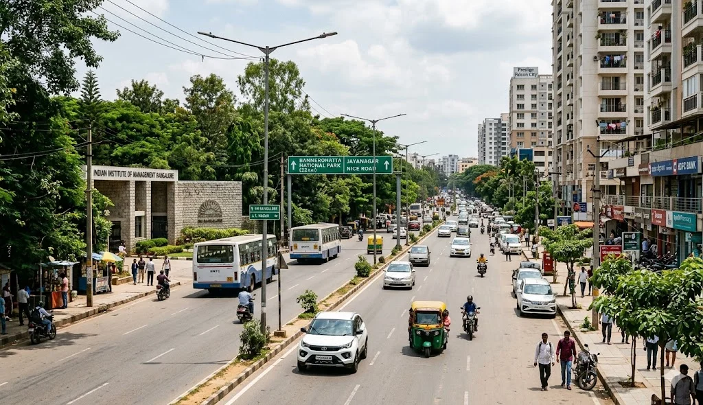
Bannerghatta Road is located in the South Bangalore zone of the Bangalore Urban District. It is a major 49-kilometer arterial stretch officially known as State Highway 87. The road begins at the Adugodi Christian Cemetery on Hosur Road and runs south all the way to Anekal. It passes through key neighborhoods like Jayanagar, JP Nagar, and Gottigere. In 2026, it is famous for being a "Green Growth Corridor" because it connects the city’s busy IT hubs to the Bannerghatta National Park and premium forest-themed townships like Godrej Vanantara.
Bannerghatta Road Location and Neighborhood Profile
Bannerghatta Road is more than just a street; it is a collection of some of South Bangalore's most posh residential and commercial hubs.
Bannerghatta Road Geography Table
| Category | Details |
|---|---|
| Zone | South Bangalore |
| Length | 49 Kilometers |
| Main Pin Codes | 560076 (Hulimavu/Arekere) & 560083 (Gottigere) |
| Major Landmarks | IIM Bangalore, Royal Meenakshi Mall, Apollo Hospital |
| Primary Highway | State Highway 87 |
Key Areas Covered by Bannerghatta Road
The road transitions from dense urban commercial spaces to quiet, green residential pockets as you move south.
- Inner South: Areas like BTM Layout and JP Nagar are closest to the city center and full of cafes and offices.
- Mid South: This includes Hulimavu and Arekere, which are the healthcare hubs housing Fortis and Apollo.
- South Extension: The Gottigere and CK Palya areas are where the newest luxury townships are located. This part is preferred by families for its cleaner air and less noise.
Why Godrej Vanantara is the Best Part of South Bangalore
Godrej Vanantara is located off Bannerghatta Main Road in the high-growth 560083 zone. This 36-acre forest-themed township sits right next to Greenwood High School and is just 7 minutes from the NICE Road Junction.
The location is a major advantage for professionals working in Electronic City, which is only 8.8 km away. Residents can reach their offices in 25 minutes while living in a "green sanctuary" with 40,000 trees. Launched in April 2026, this project offers 18 high-rise towers and a 70,000 sq. ft. clubhouse. The Pink Line Metro terminal at Kalena Agrahara is just 6 km away, making it the most strategic part of South Bangalore to buy a home today.
Frequently Asked Questions
It is strictly in South Bangalore. It starts near the city center and runs south toward the National Park.
The most common residential pin codes are 560076 and 560083.
The distance is approximately 45–50 km. In 2026, you can take the NICE Road or the Outer Ring Road to reach the airport in about 75–90 minutes.
In May 2026, the Kalena Agrahara Metro Station on the Pink Line will be the primary station serving this corridor.
Yes. The location off Bannerghatta Road near the NICE Junction has seen a 30% Y-O-Y price growth in 2026 due to the metro and road widening projects.
Still have questions?
Can't find the answer you're looking for? Please chat to our friendly team.